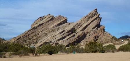
8 SFVgeocachers were expected at Vasquez Rocks County Park this morning. Instead, 22 and 1 geo-dog showed up at 9:00am.
I’d been there several times already and only needed to find 3 of the 20 caches. Coincidentally, the group’s first cache, X Marks the Spot (GC1AQZD) was one of the 3. After finding it I left the group to search for the other 2 by myself. Temperatures in the low 50’s kept the park almost empty of muggles.
They probably wouldn’t notice this cache anyway.
All 3 caches found, I drove to the (apparently unofficial) Redrock Trail on the edge of Palmdale to search for 4 caches. Parking was at a random unmarked spot at the corner of Sierra and Pearblossom highways.
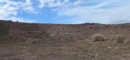
There’d been a brush fire in August and much of the ground cover hadn’t grown back.
Red Rock Trail #1 (GCV9R0) was a fire casualty. Only a decon container clip remained.
The fire also exposed an old benchmark a few steps from the missing cache.
The adjacent cache on the top the hill survived 100% intact because it was hidden in a rock outcropping.
Finding only 2 of 4, next I drove 1.5 miles to Barrel Springs Trail where I’d last cached in 2005. There were new hiking caches to find.
One of the back trails ran along the Los Angeles Aqueduct.
The southern part of the area was near-pristine desert. I was impressed by a Buckhorn Cholla cactus (Apuntia acanthocarpa).
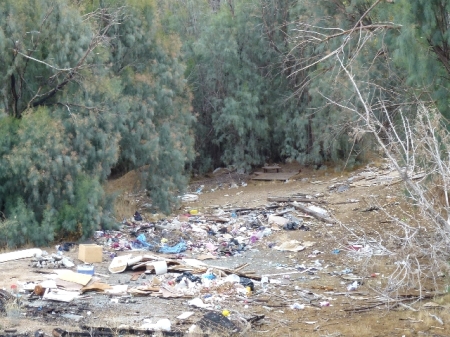
But the northern part was literally a garbage dump. It’s unfathomable how people can make such a mess. Even while I was there a black pickup truck drove by and added a bunch of old dvd cases. If you hike here be very careful not to step on any trashed lumber and paneling. A lot of it is studded with rusty nails.
It was a relief to get away from the garbage and back to my vehicle. I ended the day with 10 finds and a lot of exercise.
Dweeb's Diatribe
geocaching & hobby rants of OLdweeb