Of the 8 Channel Islands, I visited Catalina in 1971 and Santa Rosa in 1993. When sissopolis suggested a group hike on Santa Cruz Island I jumped to join, even though only 3 caches were on the planned route. Round trip passage through Island Packers was $59.00. After a hassle free check in at Ventura Harbor we boarded the 64’ Island Adventure.
Sissopolis and deeznutz® got prime upper deck aft seats.
The rest of us shared a long bench seat with 2 muggles. Here are Foocachers(Sr) and bleed_blue_LA. BWidget managed to avoid my camera all day.
Having a GPS in-hand was very useful on the 21 mile trip. We knew our speed, 15-1/2 knots, course and exactly how far we were at all times from the island dock. The sky was clear and the breeze kept us cool. We saw dolphins but no whales. We arrived in just over an hour.
A federal ranger gamely gave an orientation speech to the 150 or so disembarking passengers. About half of them, including all of us, stayed to listen. No matter how experienced elsewhere, no one with a brain should pass up the opportunity to hear local knowledge. Afterward at the nearby trailhead we saw a large 3D map. The top “X” is the dock at Scorpion Anchorage. The “O” is where I hiked alone (more on that later) and found No Oil Here (GC8F2E) a virtual cache.
Anyway there’s a small 2 room museum near the trailhead. The island has thousands of years of fascinating prehistory and a few hundred of modern history. But that’s outside the scope of this post. The most obvious evidence of the recent past are the scattered pieces of old machinery.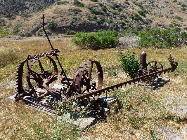
This one has twin steering wheels.
The plan was to hike to Scorpion Bay, the bottom “X” on the map above. The trail started with a quick 900’ gain. No wonder almost all the other passengers stayed at the beach. On our way up we saw the legendary Camo Bush. Its real!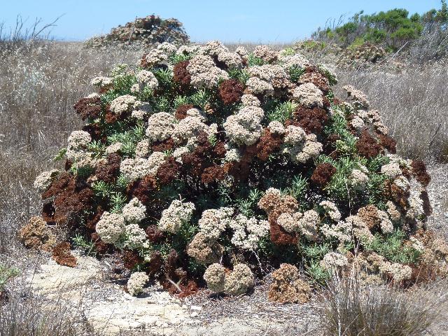
The group pulled away and I was too old, fat and slow to keep up. It didn’t help that the breeze from the boat ride didn’t extend onto the island..
I stopped at the very top, at the middle “X” on the map while the rest hiked down to beach at the bottom “X.” I could’ve reached the beach but might not have been able to hike back before the boat left.
Instead, I remained at the top for 45 minutes, took in the view of neighboring Anacapa Island and played with my V/UHF ham radio. Then I walked toward the “O” from memory because my GPSr mysteriously contained no caches, even though I’d loaded them. I knew I was going the right way when relics like these oil drill bits became numerous along the trail.
I hiked toward what looked like a telephone pole. It turned out to be an oil drilling tower.
The machinery was still there. I took pictures of what I guessed to be the virtual cache requirement, later confirmed correct.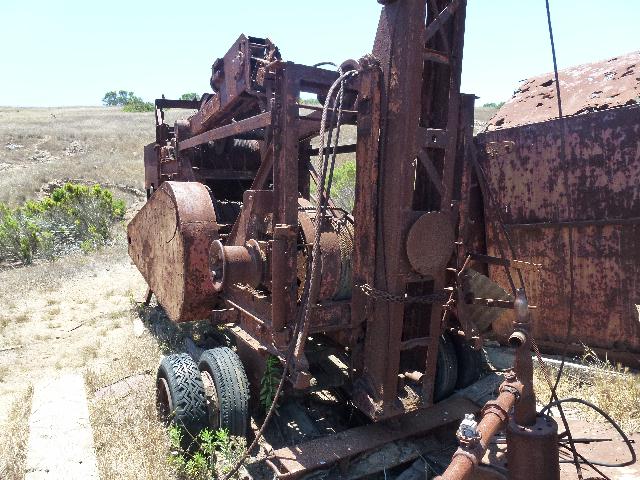
The adjoining 1 room building was rusting away.
I walked back at a leisurely pace, met a truck driving ranger who was armed for the zombie apocalypse and gave an extra liter of frozen ice tea to 2 totally unprepared muggles.
This is Scorpion Anchorage and the dock, from the trail’s last high point.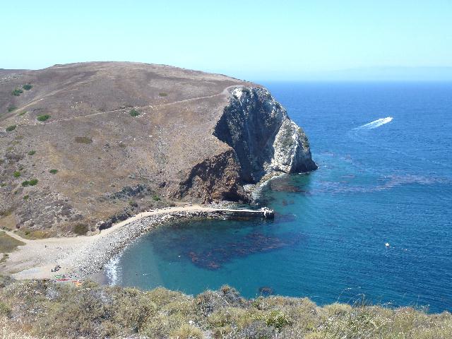
At the bottom, I joined the muggle crowd and swam around in the ocean for a ½ hour until I met the group at the dock. Everyone else hiked 9 miles, I hiked 6. Our return trip was on a similar but different boat and slightly faster at 17+ knots.
JULY 15, 2014 – Santa Cruz Island
July 15, 2014
 3 Comments |
  Uncategorized |
  Permalink
 Posted by oldweeb


