NOVEMBER 23, 2009 – Vasquez Rocks

November 23, 2009

It’d been awhile since I’d cached at Vasquez Rocks. In the interim, 8 new caches had appeared adding to the 10 found on prior visits. On a rare completely free Saturday I went back.
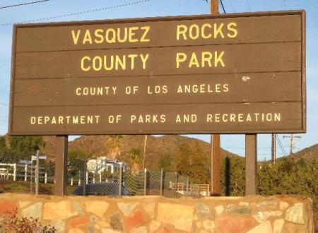
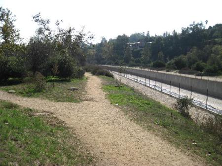
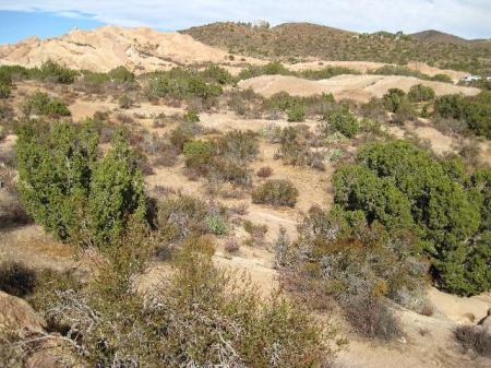
As usual for any clear weekend the main parking lot and surrounding area were packed with cars and muggles. In fact it was impossible to even approach the cache closest to my car. X marks the spot (GC1AQZD). But after detouring around a big Latin film crew and only 300’ out from parking, the area was deserted. Here’s a look back toward parking.
Right away I saw some big clawless tracks, on top of recent human footprints! I stayed alert but didn’t see gorns, sasquatches or any animals bigger than a lizard.

Caching here is always a welcome change from my urban trips and yet different from the usual cache hikes on local trails. Navigating through obstacles on faint or non-existing paths and scrambling up and down rocks are out of the ordinary and great exercise. The photo ops are different too.


This is a hole I crawled through to descend to a lower level cache.

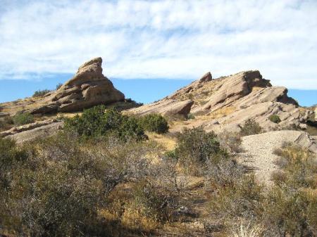
I’m not sure what this is. It’s located a few steps North of the Geology Trail trailhead.

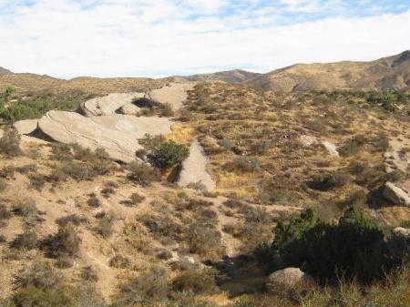
This was ground zero for my last find of the day. Lonely Corner (GC1KCW8). Coordinates bounced all over and I was leaving with a DNF when the obvious cache was noticed. d’OH!!

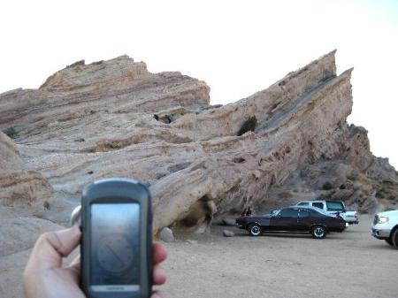
In 4 fun hours I found 6 traditional caches and an easy earthcache. Vasquez Rocks Earthcache (GCZP4M). This is the picture I took for the final earthcache requirement. Enjoy your attempt too.
NOVEMBER 17, 2009 – Lower Arroyo Park (Pasadena)

November 17, 2009

Though it’s only 25 miles away Pasadena has always seemed old, dark, alien and foreboding to me. I went out of my way to avoid it for decades. Even now, it’s only when I see a concentration of green boxes on the Pasadena map that I go there. This time the 22 boxes along the Lower Arroyo Park trail, most of them placed by Jim – f0t0m0m (thanks!!) got me to return.

I found the previous, now archived, series here in 2005 and knew that the trail is entirely flat and begins near the casting pond.

It was an easy walk south finding decons, Altoid tins and the occasional ammo can. The going was slower than normal because my Garmin Oregon 400t rarely read closer than 30’ accuracy. At one cache I couldn’t get closer than 45’ with ninety-eight foot accuracy!! When the arrow read 45’ in one direction I walked to that spot only to find the arrow pointing back to where I’d started. So I looked every place that fit the hint where an ammo can could hide and eventually made the find.
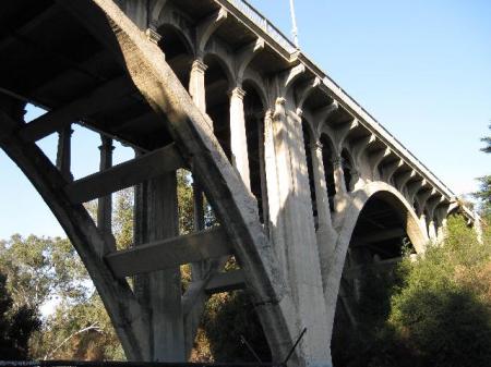
Ancient looking bridges added to the ambience.
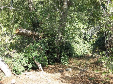
One cache Creepy Hollow…Old #4 (GCYJWA) really lived up to it’s name. It was truly truly creepy.
Another cache was creepy too Arroyo Glen (GC20Z0G). Something big was moving around in the bushes, just out of sight.
I ran into Jackcheese & Motlah who were caching in the other direction. Their loggings show that their day in the arroyo was more eventful than mine.
Without crossing this footbridge there are 3 more caches beyond it to the south. After finding them I returned and walked across to the west side.
I DNF’d a cache on the west side. Sticky Situation (GC20Z16). The completely flattened area proved that others had a hard (though successful) time.
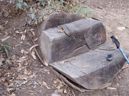
I always appreciate caches that have a nearby place to sit and sign the log.
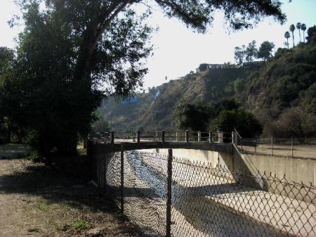
A last look. A group of drinkers under the bridge was throwing empty bottles toward the trail. They weren’t aiming at anyone or anything in particular. I still hurried through and found a few more caches.
Just across the wash from the parking lot I saw this. I don’t know what it is, probably something famous.
I’m looking forward to caching a lot between now and the end of the year. I hope to find the 228 caches I need to reach my goal of 1,200 for 2009.


NOVEMBER 8, 2009 – Topanga State Park (upper Entrada)

November 8, 2009

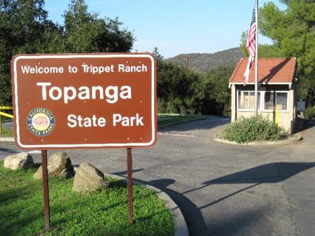
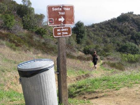
I took advantage of the cool weather to go on a long dreaded steep hike to “Eagle Rock” (unofficial name) to retrieve & archive some of my old caches. Though I’ve done the same hike well over 50 times, my 20 lb weight gain this year makes hikes with elevation increasingly difficult. I almost turned around and left when I saw 2 full size school buses disgorging screaming kids & teens in the “upper lot” off of Entrada. BTW, parking is now $10.00 !!
110709_sign
Instead of walking through the crowd I went N and W to look for Approaching Trippet (GC1NZQR). GZ appeared to be 40’ into a fenced off plant restoration area so I didn’t reach it. Years ago Milt McAuley told me another reason why the area is fenced off. If that’s still true, the penalty for being caught inside could be especially stiff. If the cache is OUTside the fence, my Oregon 400t was waaaay off (it’s happened) and my apologies to the hider.

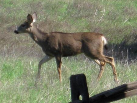
On the way back to the parking lot 2 deer walked across the trail less than 20’ away. The one below didn’t seem to care that I was there. The one with antlers hesitated, turned around and ran off.
110709_deer_1
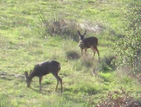
Crossing the now quiet parking lot I started up the fire road. There were more deer; 7 total in 4 encounters for the day. Now I see why they’re called mule deer.110709_deer_2
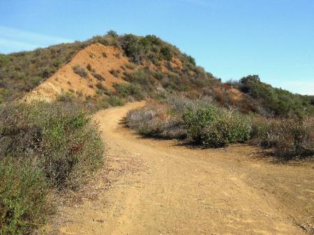
This is a side trail not taken; saved for a future adventure.
110709_not_taken
Continuing on the main fire road I got particular satisfaction from logging TSP: Resting Rock (GC1CE9P) a cache that I originally hid and later transferred by adoption to Cairngorm. While resting on the rock I saw a crow flying around overhead. It repeatedly dropped a small piece of wood with a leaf on it. As this spun downward the bird zoomed up and dived bombed it, catching it with its beak. When I raised my camera upward in video mode, of course, the crow abandoned its game and flew away. Now that I think about it, there’ve been crows here almost every time I’ve rested on the rock. And there used to be another cache here called Raven’s Roost. I hope that a cacher captures the game playing crow on video. It could be scientifically significant or at least a World’s Funniest Animals entry.


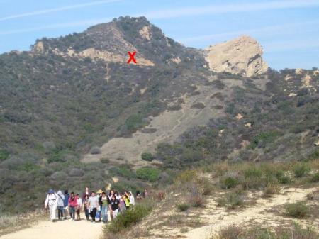
A little further on I stepped aside to avoid being trampled by a cattle drive.
110709_group
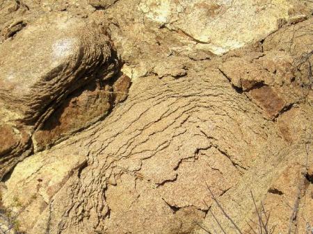
At the red “X” in the picture above there’s a stretch of “onion rocks.” They used to be more impressive but hikers have been peeling them away a piece at a time for years.
110709_onion_rock_1
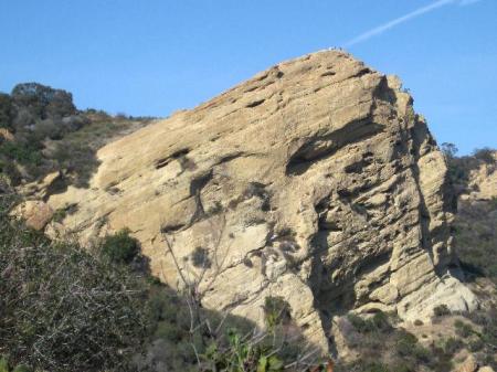
It’s Eagle Rock below. I retrieved my cache near the left edge of the picture but didn’t go to the top which was occupied by a large group of Chinese tourists. I saw them again further down the trail on my way back. Some of them were contorting themselves to drink out of a horse fountain. Their heads would’ve fit better if they’d had muzzles. (Do horses have muzzles or snouts?)
110709_eagle_rock
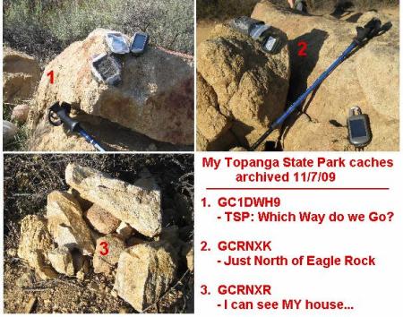
My third and final cache retrieval was I Can See My House From Here Too (GCRNXR). From here “the hub” is only a few minutes away up this trail.
110709_to_the_hub
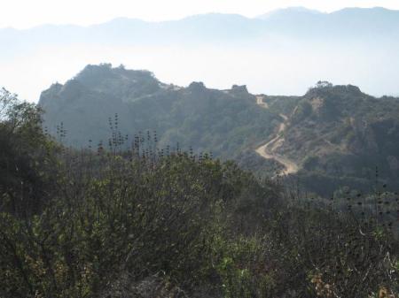
But I turned around and headed back toward Eagle Rock and beyond to my car.
110709_great_wall
The caches I retrieved and archived:
110709_mine_to_archive