JANUARY 31, 2011 – cache hike – FAIL !!

January 31, 2011

I picked the only rainy day in weeks to look for Palos Verdes to Santa Barbara View (GCF3B5) for the Santa Monica Mountains History Adventure (GC18DXW). On my drive North on Yerba Buena Road from Pacific Coast Highway I stopped at the Circle X Ranch NPS ranger station. It’s the site of a new physical geocache SAMO ParkCache 5 (GC2MPW1) placed by a ranger. The station was closed and deserted allowing me to find the extremely well constructed and placed cache, without distractions. The big clean restroom on the right side of the building was open.

I drove for 2 more minutes to the Sandstone Peak trailhead. There’s free parking there in the dirt lot for dozens of cars. I recognized Albackore’s big truck.


A ½ mile up the steep winding trail I met Albackore (Jeff) & Don_J (Don) returning from their own adventure. Five minutes later BWidget (Bill) and foon (Alan) also appeared. They brought rain with them.

Bill took my picture as it started to pour and we continued in opposite directions.

By now thoroughly soaked I reached the stairway to Sandstone Peak. I’ve been to the peak at least 30 times since 1992. As the highest peak in the Santa Monica Mountains, the view of the ocean and Channel Islands from there is incredible in clear weather. But I turned away from the stairs and kept hiking.

The few forlorn hikers I passed from this point onward looked miserable in the wind blasted rain and low 50’s temperatures. My steady diet of burgers, pizzas, burritos and kung pao chicken will eventually kill me. For now the resulting extra insulation lets me hike in these conditions with relative ease. My biggest worry was that the stream below would wash out the trail on my return trip. It didn’t.

The rain REALLY started to pour and it got much darker. Even nearby features disappeared into fog.

The trail became super slippery with an inch thick layer of smooth mud. I got to within 0.34 miles of my objective but couldn’t find the turnoff sidetrail I’d seen on my google map which was now wet, smeared and useless. The direct way was a straight uphill bushwhack, a stupid thing to do by myself in bad weather.

I had to turn back. I thought I’d salvage the trip by finding 2 easier caches nearby but the rain was so heavy that I couldn’t see my GPS screen. Of course, once I was out of range of those caches, the rain stopped and the sun briefly broke through. It was clear enough to see the infamous Balancing Rock across the canyon.

I was relieved to reach the parking lot just as the heel of my left hiking boot detached.

I hiked 6.2 miles in bad weather and completely failed to accomplish my day’s caching goal. If someone knows how to reach Palos Verdes to Santa Barbara View (GCF3B5) from Sandstone Peak, please let me know. Otherwise I’m going to try to reach it from the Wendy-Potrero trailhead in Newbury Park later this year.


JANUARY 25, 2011 – Nerd, Dork, Geek, Dweeb!!

January 25, 2011

Nerd, dork, geek, dweeb!! I suspect that they’re all too familiar childhood taunts for many of us. For me, that was a long time ago and since then I’ve learned to embrace all the names. That’s why my caching name is OLdweeb. In this golden age of technology and exponentially expanding knowledge, being a nerd, dork geek or dweeb carries a certain cachet. I’ve decided to celebrate by hiding a series of 4 caches with these names. Two are already active:

Nerd (GC2MR57)
Dork (GC2MR5H)

Geek and Dweeb should be published and active next weekend. If you’re able, take a hike!! And find all 4.

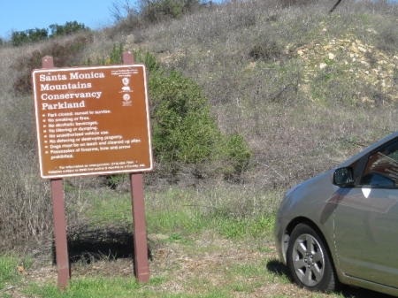
Here’s the freeway sign for the park where the caches are (or will be) located.

The trailhead is on Las Virgenes Road just off of the 101 freeway. There’s parking for only a few cars.

About 150’ South of parking there’s an unsigned locked gate. I’ve been assured that it’s OK to pass thru the hole and all map evidence seems to confirm this. Logically, how can there be a “Highlands” park if the only hillside is blocked off?

If you don’t go to the gate, you can still go straight West from parking, 600’ down this trail. Dork is at the end.

Nerd and Dork look like this. Geek and Dweeb will probably look the same.

As a newbie cacher I looked forward to finding interesting stuff in caches and always carried a bunch of rubber lizards & frogs to exchange. Thousands of caches and years later, almost all geoswag annoys me. It just gets in the way of log removal and return. But I DO like pathtags. I used to take them and give them to my geofriend LAEd. Lately I’ve begun to appreciate their designs. Here are the ones I have:

Bye for now.


JANUARY 17, 2011 – Lake Casitas (Ojai)

January 17, 2011

Saturday morning, I lost my keys and couldn’t go to Lake Casitas with my geofriends sissopolis (Christine), Don_J (Don) and deeznutz® (Derrick). A neighbor returned my keys at noon, too late for me to catch up. The 3 had a great time and found a bunch of caches along the lake. Their facebook picture posts made me determined to do the same hike on Sunday. My pocket query was already loaded and my daypack was in the car so all I had to do was get in and drive 1 hour.

There was 1 parking space outside of the gate and I gratefully took advantage of “walk-ins free.”

With a mental image of the google map, I started walking clockwise around the lake. Almost immediately I reached what should’ve been an easy find. But the “structure” was damaged and cache was muggled. Note the missing base of the tube. There was no cache inside.

A few minutes later I passed a bunch of metal boats. I didn’t see any like them on the water.

A very tricky hide at a lamp post Lake Casitas #2 Rachel’s Marina Hide (GC1AHE1) was next. It’s the only one I found that my friends missed the day before. Just beyond that was a fleet of parked pickup trucks.

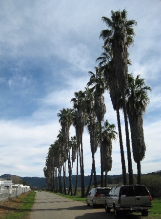
I continued walking, very glad that the palm trees don’t produce skull crushing coconuts.

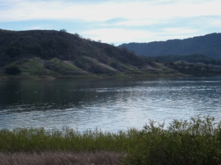
Most park visitors seemed to be barbequing at their campsites. The lake itself was very quiet. Signs read, “No body contact with the water. This is a drinking water reservoir.” That’s a big contrast to Pyramid Lake in Castaic which is also for drinking water. There I saw dozens of jet skis, people and dogs swimming and even a floating deer carcass.

The East end of the lake is bordered by a rock dam. I found a rock hide Shoreline Lake Trail #2 (GC1AK7A). Here, despite a sign that read, “No access to shore,” I saw 3 men emerge from the bushes, each holding his own string of 3 large trout.

There’s a small vineyard on the other side of the dam.

After crossing over the dam I met no one else on the trail and found 4 more caches. A boat was just offshore of the 2nd cache. The bikini-clad sunbathers on deck were uncomfortable that I stopped hiking so close to them. They had one of their husbands/boyfriends move the boat down the shoreline to get away from me. Of course they stopped directly in front of the next cache. When I reached that one, even though it was on the inland side of the trail, they moved the boat again…to just below the final cache, where there’s a convenient bench for sightseers (or cachers). Now, seriously annoyed, they took the boat directly South away from shore, and me. Some people need to learn that it’s not all about them. They should’ve waited 2 more minutes because this was my turnaround point.

An hour and a half later I was back at my car. I completed the 7.2 mile hike in 3-1/2 hours. I started my drive home by going to a cache unreachable from inside the park Ground and Chipped (GC26QX0). Someone shot a pig at GZ. Note the small caliber entry wound. I didn’t want to poke around for fear of finding something even more disgusting so I left without seeing the cache. Back at home I read my friends’ logs and learned that they’d found the cache, despite the pig.

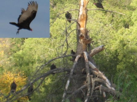
A nearby tree was full of turkey vultures. Either they weren’t hungry (seems unlikely) or their reputation as find-all scavengers is undeserved. Why hadn’t they eaten the pig?

I found a few more caches along near-deserted rural roads and ended the day with 22 finds. The gc.com map of the area is full of green boxes so I’m going back soon.


JANUARY 2, 2011 – vacation’s end

January 2, 2011

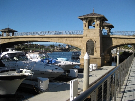
Toward the end of my 16 day holiday break from work I went on some half day mini cache runs. I’d long since exceeded my 2010 goal of 1,200 finds so I started at noon and drove to Channel Islands Harbor. The area was mostly a half finished construction site on my previous visits. Now everything looks complete. There’s a cache on the left side of the bridge.

This is the view from the cache on the bridge.

South of the harbor there was a cache in the jetty. The previous log was a DNF. I couldn’t find it either.

All wasn’t lost because I got to see the sunset from GZ.

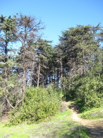
A few days later I went to Griffith Park to find Henry’s Trail (GC483) for the Santa Monica Mtns History Adventure (GC18DXW). The trailhead at the North end of Commonwealth Avenue had unusual vegetation. It looked a lot like coastal areas of central California.

On my various hikes I take lots of pictures of downtown Los Angeles. This one is from closer than the rest.

This is the view, left from the same spot.

I found Henry’s Trail and a few others and finished 2010 with 1,527 finds.

On January 1 I went for my annual new year’s day hike, in a different part of Griffith Park. I went to find mshock’s A walk in the park series. Damage from recent storms was evident.

Hiking on a trail I was surprised to arrive at an unused paved road. I walked on it and found 3 caches.

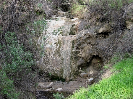
There was a scenic surprise at the last cache Christmas Day (GC1XXY5). It’s the easternmost waterfall I’ve seen in the Santa Monicas.

Happy New Year and happy caching!!